Nouakchott, Mauritania: The Hidden Pearl of Western Africa
Nouakchott is the dominating city in Mauritania, acting as both its capital and its main economic hub. The city is most notable for its deep-water port that brings much of the city’s income, as well as its role as a major center for Sahara refugees during the 1970s.
Continue reading to find out more about the history, geography and layout of the city of Nouakchott.
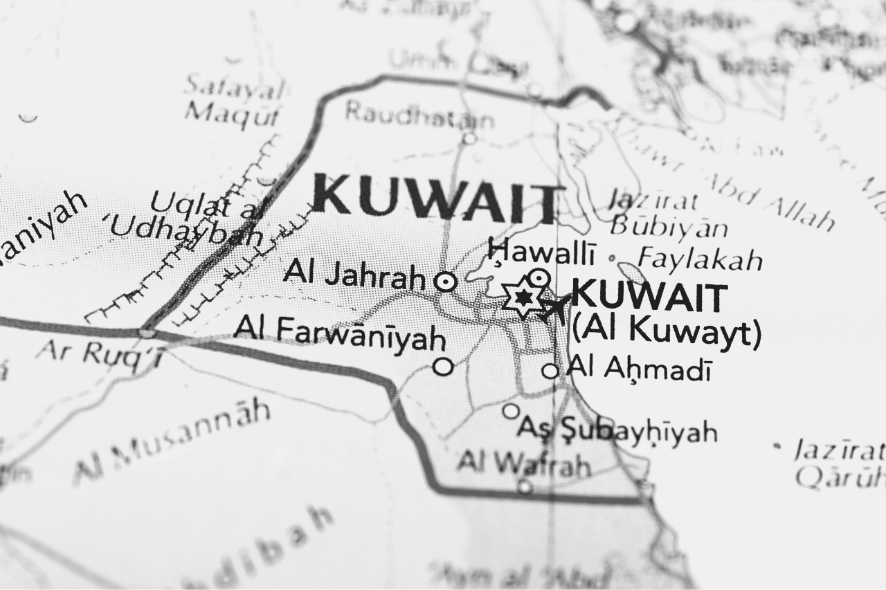
Where Is Nouakchott?
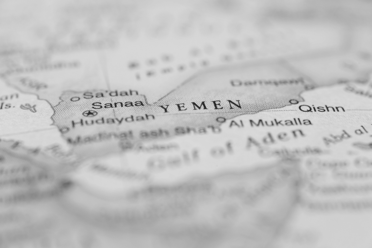
Nouakchott is the capital city of Mauritania and serves as its main administrative center as well as the major economic hub of the country. The city is located near the West African coast on a plateau, located around 270 miles northeast of the city of Dakar, Senegal
The city’s name was originally derived from the Berber word Nawākšūṭ, which translates to**“place of the winds.”**
Climate
The city has a hot climate that is typical of deserts, characterized by hot average temperatures and a cool breeze on winter nights. Due to the city’s location on the Atlantic coast, the city enjoys a much cooler climate than other cities in Northwest Africa.
Average high temperatures throughout the year are around 91 F, while low temperatures can range from 77 F to 55 F depending on the season. On average, 3.7 inches of rain fall in the city annually.
Population
The 21st century has shown tremendous growth in Mauritania’s population. In 2000, the Nouakchott population counted 558,195 people. The count had grown to 743,500 in 2005,while a 2013 census showed that the population was just under one million. The city’s population makes up for one third of Mauritania’s total population.
Part of the difficulty of calculating the population numbers is that much of the city’s poor class lives nomadically, moving in and out of the city in temporary living quarters based on the economic opportunity available.
Nouakchott’s History
The city was originally a small coastal fortified fishing village that was connected to Dakar, Senegal, with a desert trail before it was colonized by the French. Only after that did Nouakchott become one of the major cities in Mauritania.
Approaching Mauritania’s independence in 1958, the administration of Moktar Ould Daddah designated it as the capital of Mauritania. Ould Daddah wanted the capital of the newly independent country to reflect his goals of modernity and nationalist unity.
This made Nouakchott an ideal location, as it was located in between the important coastal city of Nouadhibou and Saint-Louis, Senegal, which was the colonial capital of the region. Because the coastal regions tended to be more diverse ethnically, this choice avoided the controversy of putting the capital in a region dominated by either Moor Arabs or Black Africans.
Towards Independence
In 1958, the Mauritanian began constructing more housing facilities in the city to hold a population of around 15,000. The works were completed by the time of the country’s official independence from French rule, in 1960. The original plan for the city was to be a major administrative and population center, not necessarily an economic one.
The business district, located in the city center, displays broad streets and a grid-like structure. The Fifth District gradually became the major residential area of the city and was the location of a large open-air market. During the 1960s, the city created its own localized government.
The city found itself as a central location for the urbanization that the Mauritanian government hoped to implement in the newly independent country. Despite the efforts undertaken by the French colonizers, in fact, before independence much of the Mauritanian population was nomadic. Once the country was free, the government hoped that moving its population to residential areas would help modernize the country.
Nouakchott Problems: Guerrillas and Desertification
Nouakchott was attacked twice by Polisario guerillas in 1976 during the Western Sahara Conflict, though no serious damage was done to the city.
During the droughts and increased desertification that enveloped the Sahara region throughout the late 1960s and early 1970s (especially in the years 1968, 1972 and 1973), the city acted as a major center for refugees.
This period brought massive urbanization and population growth to Nouakchott. Most of the refugees settled in unsanitary, poverty-stricken slums in the outskirts of the city. This population growth continued incessantly until today.
The Friendship Port
You can find the Nouakchott port facility, called Friendship Port, around 5 miles west of the city. The main Mauritanian exports that go through the port are petroleum and copper. This copper comes from mines located near the town of Akjoujt, located 120 miles northeast of Nouakchott.
In the 1980s, the China Road and Bridge Corporation saw an economic opportunity in the rapidly expanding population of Nouakchott and offered to build a deepwater port on the coast of the city. This infrastructure would allow Nouakchott to be supplied easily from the coast, instead of overland from Senegal.
The People’s Republic of China offered Mauritania a $150 million interest-free loan for the construction of the port.
The location of the port was not a natural harbor, so breakwaters made out of concrete had to be installed to ensure the safety of the ships. Over 400 workers came from China and used over 100,000 concrete blocks to create the harbor.
The working conditions were extremely dangerous for these workers, as they were not only working with concrete blocks that could weigh over 12 tons, but they also had to fight the heavy winds and tides of the ocean.
The Inauguration of the Port and Future Developments
By September 1986, the port was successfully built for several months of schedule. Plans have been made in the 21st century to increase the port’s capacity, and in 2011 the World Bank began planning to create a new facility for shipping containers in the port.
So far, the port has exceeded the expectations of both the Chinese and Mauritanians, as it was handling 1.5 million deadweight tons of cargo by 2009, despite being built to support a capacity of only 500,000 deadweight tons. The Chinese government invested $282 million in the port in 2009 to expand its operations.
In 2001, the government of Spain devised plans to put an oil terminal near the port. In 2003, Mali planned on constructing a 990,000 square foot warehouse in the port to handle its exports and imports.
While there is a large amount of activity in Friendship Port, the port at the city of Nouadhibou to the north has more traffic annually. Despite this, Nouakchott is considered the central force of the country’s economy, with three quarters of Mauritania’s service sector being located in the city. The overwhelming majority of the city’s economic transactions are informal, and much of its labor force travels in and out of the city for work.
Regions of the Mauritanian Capital City
The city was initially divided into four different departments during the 1970s, and by 1986 it was divided into nine departments. In 2014, the city was divided into three distinct administrative regions led by governors appointed by the Mauritanian government.
The Nouakchott-Nord region comprises the northwestern departments of the city: Dar-Naim, Teyarett, and Toujouonine. The region’s capital is Dar-Naim and the international airport is located there.
The Nouakchott-Ouest region comprises the northeastern departments of the city: Ksar, Sebkha, and Tevragh-Zeina. The region’s capital is Tevragh-Zeina and the Presidential Palace is located in the region.
The Nouakchott-Sud region is made up of the southern departments of the city: Arafat, El Mina, and Riyad. The region’s capital is Arafat and the deepwater port is located in this region.
The Development Plan for the Southern Region
This southern region has been a major success story for slum resettlement. In 2009, the Mauritanian government began a strategy of moving 24,000 families from the city’s southern slums into planned housing in the city.
The slums were converted into social dwellings for the city’s poor class and many poor families were moved into affordable housing within the city. The venture has been regarded as a success, and is credited with helping over 180,000 Mauritanians living in poverty.
Along with these distinctive regions, a regional council of the city that promotes social and economic development was created in 2018. Its first President was Fatimatou Abdel Malick.
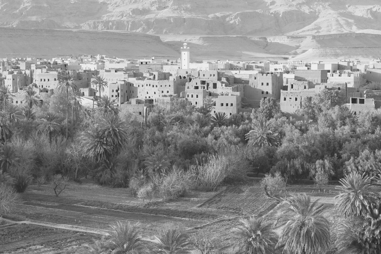
Layout of the City
Nouakchott is located on the Sahara Desert’s West African Atlantic coast. The city is mostly flat, resting only a few meters above sea level. The coastal strip of the city is largely empty and allowed to flood, except for the Friendship Port and another small fishing port. One section of the city’s beach is set aside for local fishermen, from whom the city’s inhabitants can buy fresh fish at the market.
The city is located on the central portion of the main highway of the country, which connects the more populated agricultural southern areas with the sparsely populated mineral-rich areas in the north.
The Nouakchott beach is full of sandbanks and even has areas of quicksand near the port. The coastal strips’ sand dunes have raised environmental concerns for the city, as they have advanced from the east. There have been environmental projects carried out by the city to fight the encroaching sand dunes.
Most of the city’s layout is spread out and most buildings in the city are only one story. The city’s square, the Place de l’Indépendance, includes an industrial area and airport. The Nouakchott-Oumtounsy International Airport is one of Mauritania’s two international airports. Now, let’s see what are the main distinctive parts of the city.
Avenue Nasser
The city is largely built around a large street, Avenue Gamal Abdel Nasser, named after the second president of Egypt. The road runs through the city’s center northeast to the international airport. It separates the city in two, with the residential living areas in the north, and the historical district and shanty town in the south.
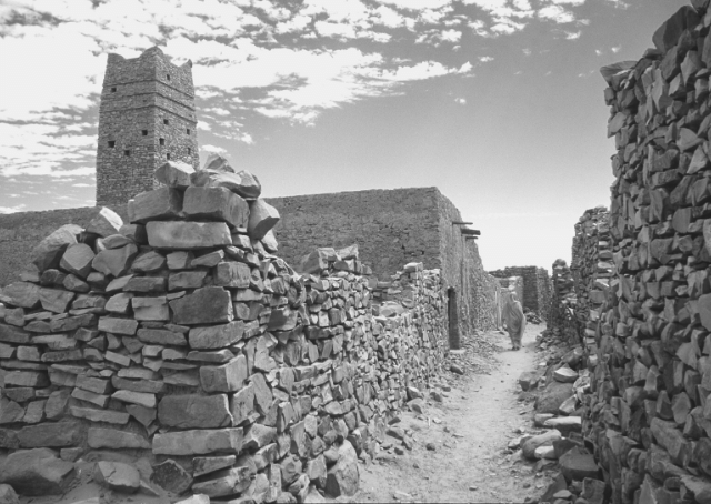
The Shanty Town
The shanty town, called a “kebbe” in Mauritania, was created in the 1970s and 80s to support the ever-increasing population of refugees. Despite many successful programs that have improved living standards for the city’s poor, much of the city’s population still lives in poverty in this southern section of the city, often living in tents, shacks, or temporary cement buildings.
The University of Nouakchott
The University of Nouakchott was founded in 1981 and serves as the country’s main university. As of 1995, the university had 2,800 students and 70 professors. The Lebanese International University of Mauritania, the National School of Administration, the College of Science and Technology, and the Higher Scientific Institute are also located in the city.
The Presidential Palace
The Presidential Palace is located in the very center of the city and sticks out as an especially lavish and well decorated building. It is just north of the Lebanese International University and the Central Bank of Mauritania. It is located next to the US embassy.
The National Museum of Mauritania
The National Museum of Mauritania is also located in Nouakchott. It includes many archaeological and ethnographic galleries that display pottery, arrowheads and local cultural artifacts. The building is two stories tall and was built by the Chinese in 1972.
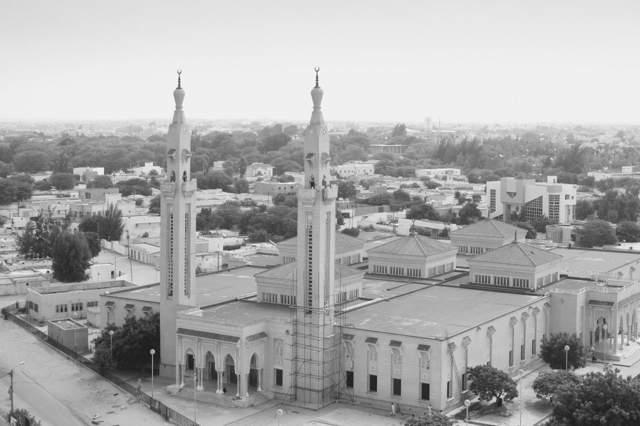
While the city’s religious places of worship are predominantly mosques, there are several Christian churches, including the Roman Catholic Diocese of Nouakchott, along with several Protestant and Evangelical Churches.
Conclusion
Now you know a lot about the layout and history of the capital city of Mauritania, Nouakchott. Let’s go over the city’s most interesting facts:
- The city is located on the Atlantic West African coast of Mauritania, serving as the capital of the country.
- The city has a deepwater port built by the Chinese government in the 1980s, that serves as a major hub for Mauritania’s trade in petroleum and copper.
- In the 1970s, the city was a major destination for refugees escaping a period of heavy drought and desertification in the Sahara.
- The city has had a successful program of slum resettlement and aid programs for its poor population.
Nouakchott is an immensely important part of the Mauritanian economy and political structure. Its economic success with its deep-water port, social programs for its poorer classes, and expanding population show a city that is making great strides despite being located in what many consider a very desolate part of the world.